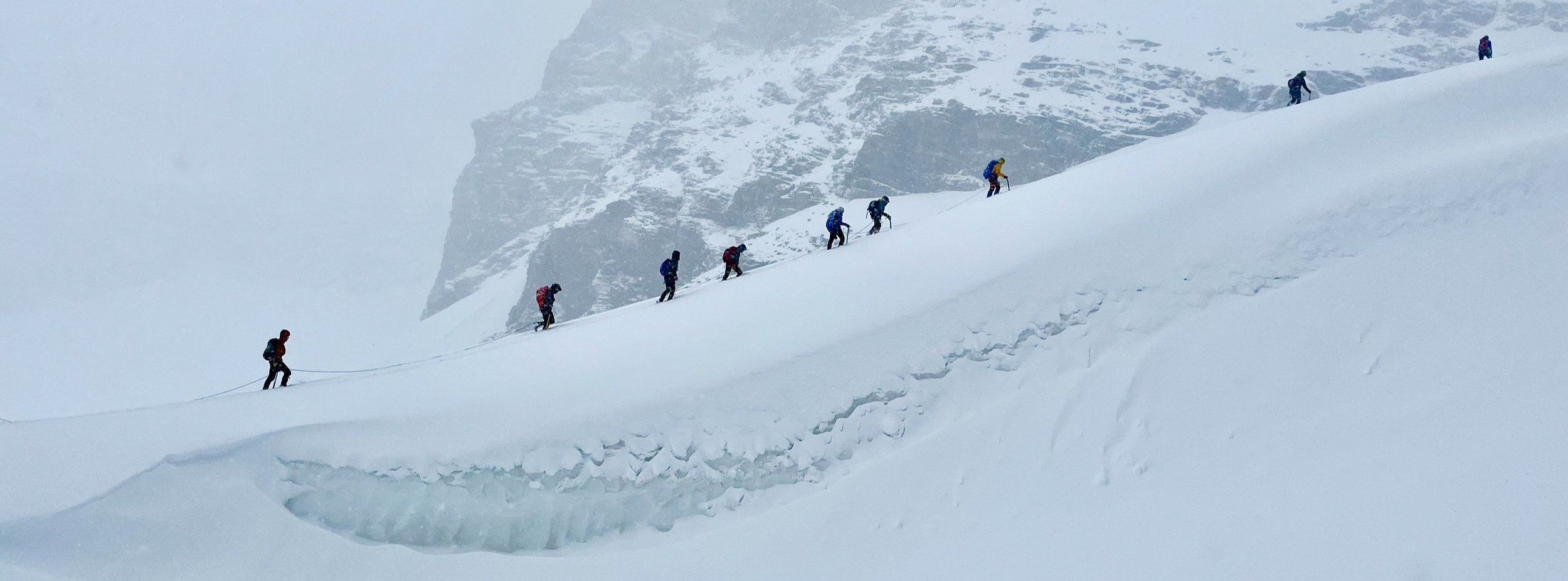
Why changes in snow and ice matter
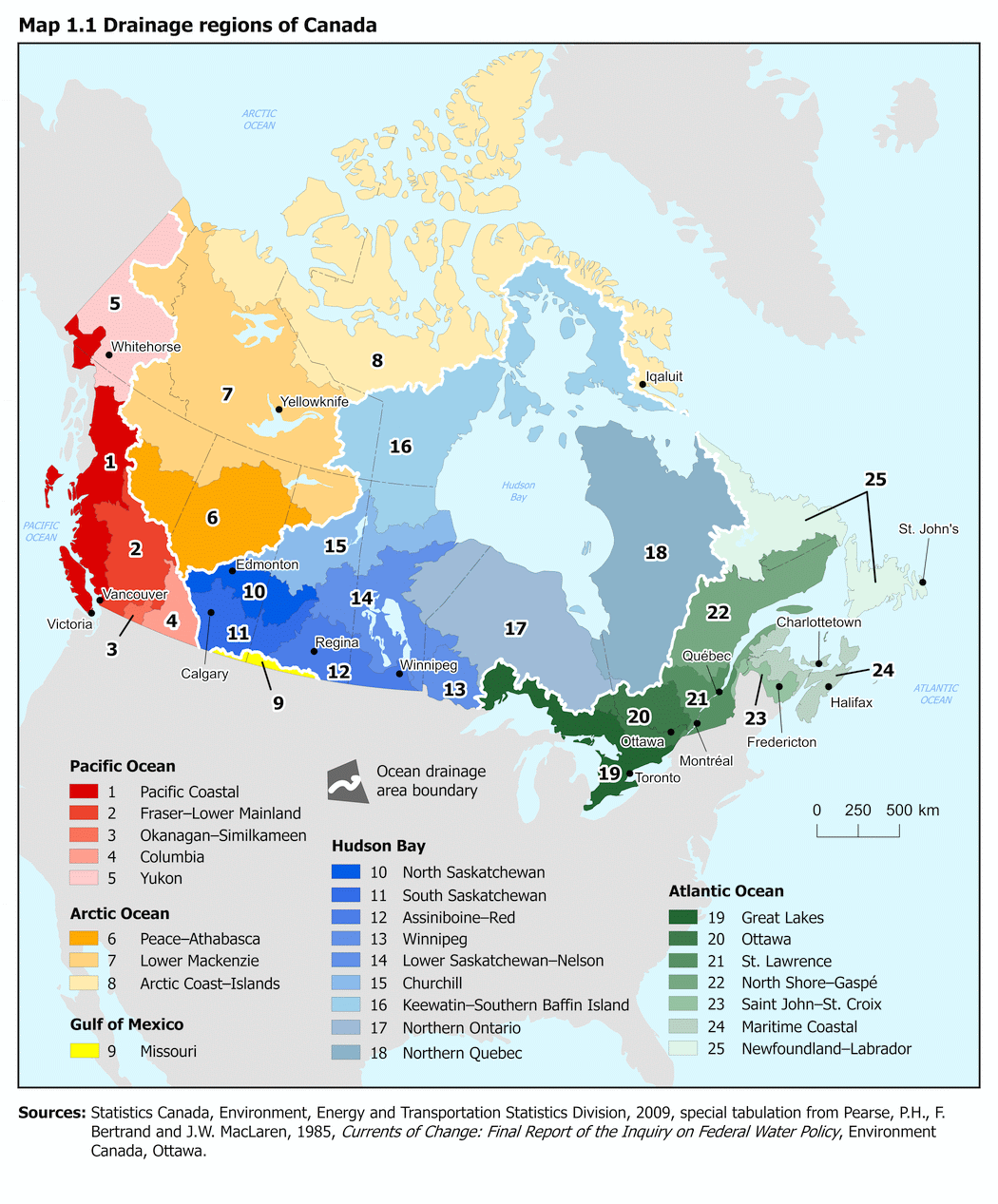
Snow and ice matter to the everyday lives of Canadians in many ways. The Canadian Rockies are important to our national water supply as the headwaters of three of the country’s five ocean drainage basins. We have also built deep cultural connections to glaciers, snow and ice, and have fostered tourism and economic activity through the magnificence of Canada’s mountain landscapes. The conditions that created our relationship to our frozen areas are changing, and if we do not understand how, we will not be prepared for what is to come.
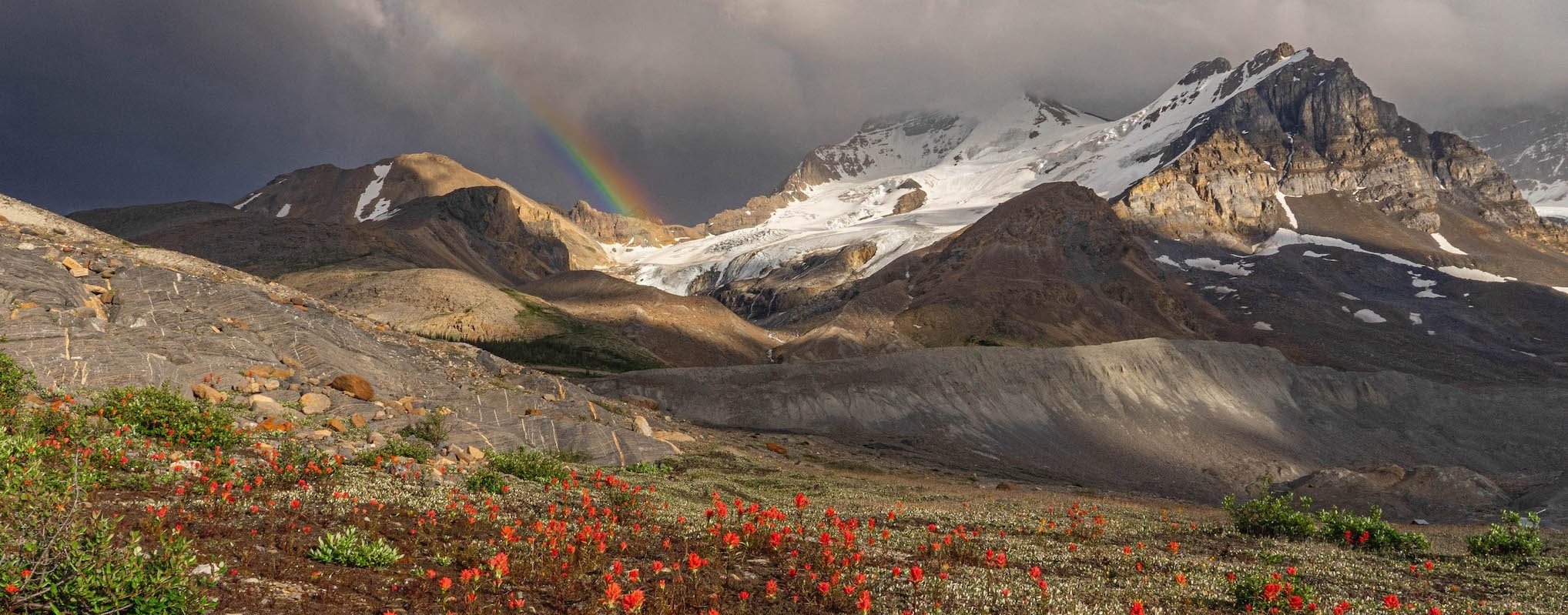
Mount Athabasca. Photo by Lynn Martel.
Water security
The significance of snow and glacial melt to mountain water supply varies with local snowpack and glacier coverage, climate and hydrology, with its significance changing from river basin to river basin, from year to year and across seasons. When assessing water supply for hydroelectricity, irrigation or water consumption downstream, we often talk about significance in terms of contribution to average annual streamflow volume, or how much of the water in a river is coming from a given source. Between 60 and 80% of annual streamflow volumes in Canadian mountain rivers comes from the melting seasonal snowpack and are supplemented with wet-season rains. Glaciers generally only start melting midsummer as their snow cover melts away and their ice becomes exposed, with their peak melt occurring in late summer. In the Canadian Rockies, melting snow out-ranks glacial ice-melt in terms of river streamflow contributions: snowmelt makes up around 60% while glacial ice-melt contributions are less than 5% and, in some cases, less than 2%. For water users downstream, this means variability in snowfall throughout the winter and spring seasons will have the greatest effect on water supply.

Iceline Glacier, Yoho National Park. Photo by Lynn Martel.
Where glaciers do play an important role in water security is through helping to drought-proof river streamflows. When snowfall has been low and air temperature high, glacier ice is exposed earlier in the year and melts faster. This often occurs when there are low snowpacks and high evaporation losses, meaning reduced streamflow contributions from snowmelt and rainfall. This is what we observed in 2023: early snowmelt and extreme spring and summer temperatures induced very high levels of glacial melt, and this helped to keep the river streamflows higher than they would have been otherwise. In fact, we observed in 2023 that the rivers with greater glacial coverage in their mountain headwaters (like the North Saskatchewan and Athabasca Rivers) had higher streamflows in 2023 than the rivers with fewer glaciers (like the Bow and Oldman rivers). In other words, we saw that glacial melt helped to compensate for the abnormal lack of snowmelt and rainfall. As glaciers recede, we risk losing this buffer to our water supply and its drought-proofing abilities.
Mountains as Water Towers
This map shows the historical average annual snow-water equivalent (SWE) across Canada. SWE is the amount of water that, if melted, a given volume of snow will yield. The winter snowpack’s SWE is important for freshwater resources because in the springtime when temperatures rise, snow that has accumulated in the mountains during the winter starts to melt and runoff downslope and percolate into soils. This meltwater a major contributor to rivers and underground reservoirs, both of which are heavily relied upon by ecosystems and humans for their activities and survival.
Mountain research centres and observatories are critical to estimating the amount of water that mountains snowpacks hold. The information they collect is vital for predicting spring and summertime streamflow conditions, which helps municipalities, irrigation districts, hydropower facilities and more understand (and prepare for) the future water resource circumstances they may be facing.

Modelled average snow-water equivalent across Canada from 1981-2016. From the Canadian Mountain Assessment, McDowell et al. (2023)
Ecosystem Dynamics
Changing hydrological conditions are having - and are projected to increasingly have - profound impacts on mountain ecosystems. Changing snowpacks at low elevations will fundamentally alter winter ecosystems, and in turn, the species which have evolved to survive within them. Shifting water resources, including the timing, quantity, and quality of runoff affect soil and vegetation systems, and changes in all of these areas affect the habitats of native mountain species. Snow is also a key determinant in wildlife migration, hibernation and survival. Changing seasonal patterns, such as late winters and early springs can affect species behavioural patterns.
We do not know the full extent of ecosystem impacts that changing hydrological regimes in our mountain ranges will have. The risks are high: it is not only the beauty and heritage of our mountains that may change, the ecological integrity of entire regions may be affected.
Mountain hazards
While glacial recession is visibly changing mountain landscapes, climate change is also fundamentally altering mountain terrain. Temperature increases, glacial recession, permafrost thaw and changing snow-water precipitation all influence natural hazard processes such as slope instability, outburst flooding, debris floods and flows and more. The topography of Canada’s mountains was (and is) strongly influenced by the presence of glaciers. Often as glaciers advance, they carve into mountain sides creating features like steep valleys and deep bowls (also called ‘cirques’). When they recede, not only do they expose oversteepened walls, but the loss of ice itself means the mountain slopes are losing considerable structural support. This process is called slope debuttressing, and along with the loose rock that glacial recession exposes, it can create new, heightened vulnerability to rockfall and landslides.

Another related hazard of concern are glacial lake outburst floods (GLOFs). A common feature in front of or below glaciers are lakes fed by meltwater. These lakes can vary in size, from small ponds to large bodies of water. In certain locations, the high rates of glacial melt are rapidly increasing lake water levels. Bigger lakes, along with slope instabilities induced by decaying ice and permafrost, can increase the risk of flooding events. A concern is that rock or ice will break off and fall into the water, sending a debris-filled flood downslope. In fact, ice calving off glaciers has already caused problems here in Canada. In summer 2012, an estimated 60% of Ghost Glacier in Jasper National Park broke off a high cliff during the night and fell almost 1000m down into a lake below. Luckily it was nighttime so no one was around, but the torrent of water, ice and debris could have posed serious human risk. Pictured left is a warning sign now located on the Mount Edith Cavell walking path, alerting visitors to potential flash-flooding because of ice and rock fall.
Glacial lake outburst flood warning sign in Jasper National Park. Photo by Zoë Johnson.
Permafrost thaw
Thawing permafrost can strongly impact the topography and hydrogeology of frozen landscapes. As previously-frozen and ice-laden terrain are melting, changes including erosion, landslides, ground slumping and altering ground and surface water dynamics are affecting communities, infrastructure and habitats in northern areas. These changes are not only having significant impacts on Northern and Indigenous livelihoods and traditions, but are also creating hazardous landscape conditions. Among these hazards are ground collapse and debris flows, which can be exacerbated by thawing ground increasing the supply of loose, moveable sediments and other terrain. How the landscape responds to warming temperatures depends on the concentration of ice in the ground, but regardless, surface collapse pose one of the greatest threats to infrastructure and safety for arctic communities.
As permafrost thaws, there are additional concerns over what the melting ice can release. There are health concerns are linked to permafrost degredation, as permafrost can contain large quantities of heavy metals like mercury and ancient viruses and microbes. Thawing facilitates the release of these toxic substances into the environment and local food chain. Further, permafrost soil can contain thousands of years of frozen plant material that are now beginning to decompose, emitting two major fossil fuels, carbon dioxide and methane, into the atmosphere during the process. The loss of permafrost carbon stores will exacerbate climate warming.

A thaw slump in the N.W.T. (Source: Northwest Territories Geological Survey)

Differential settlement associated with permafrost thaw along an abandoned section of road near Yellowknife. (Source: Natural Resources Canada).
Economic and social impacts
The economic and social impacts from changing cryosphere conditions are hard to quantify, but they are sizeable. Millions of people around the world come to Canada to see the blue of Lake Louise and the glaciers of the Icefields Parkway, ski the mountain slopes and climb their peaks, and enjoy the stunning natural beauty that defines the mountains West. As climate change continues and we experience changing temperatures and precipitation regimes, it is likely that tourism and mountain living as we currently know them will change.
Changing conditions are already affecting how we Canadians can interact with the mountains. Rising slope instability as a result of warming temperatures and degrading snow and ice are impacting hiking, climbing and other aspects of mountain culture by changing where, how and when we can enjoy the outdoors.

Did you know?
The brilliant blues and greens of glacial lakes are actually a result of ‘glacial flour’ being carried into the lakes by glacial melt. The movement of glaciers along mountain slopes grinds the bedrock underneath, creating tiny particles of rocks and sediments that form ‘flour.’ When the particles enter water, they become suspended and this changes how the water absorbs and reflects light, creating the vibrant colours we see in places like Moraine Lake or Lake Louise.
As the glaciers disappear, the quantities of glacial flour being deposited into our waterways is decreasing. Over time, we can expect these now-iconic lakes to lose their brilliance and turn the same blue of typical freshwater bodies.


Remembering the Abbot Pass Refuge Cabin
Until its decommissioning in spring 2022, the Abbot Pass Refuge Cabin was a national historic site and cultural emblem of Canada’s mountaineering environment. The hut sat on Abbot Pass, straddling the continental divide on the border of Banff and Yoho National Parks at 2925 meters of elevation. Deteriorating slope conditions were first noted in 2016, and increasing safety concerns regarding erosion and slope instability beneath the cabin ultimately led to the Abbot Pass Hut being dismantled.
Climate change has been identified as a causal factor in the hut’s decommissioning. The once-perennial snow and ice surrounding the cabin has declined with warming atmospheric temperatures, exposing the previously frozen slope to erosion forces. Although stabilization efforts had been initiated in 2018, disruptions from the COVID-19 pandemic and heatwaves in 2021 rendered authorities unable to keep up with the pace of slope deterioration. Within six years of the first signs of instability, the hut was removed completely.
Similar cases are being observed throughout mountain environments globally. How we live, hike and play in frozen environments is changing, and we need to be aware of the changing conditions.
(Images from Parks Canada.)
Opabin Glacier, Yoho National Park. Photo by Kat Kaster.